Map orientation
Preserved towers read as one coastal network
Along the northern coast, each surviving lighthouse is both a local landmark and part of a wider chain of navigation, weather, and keeper life that shaped maritime movement over generations.
Preserved tower map guide
Read the northern coast as one lighthouse journey
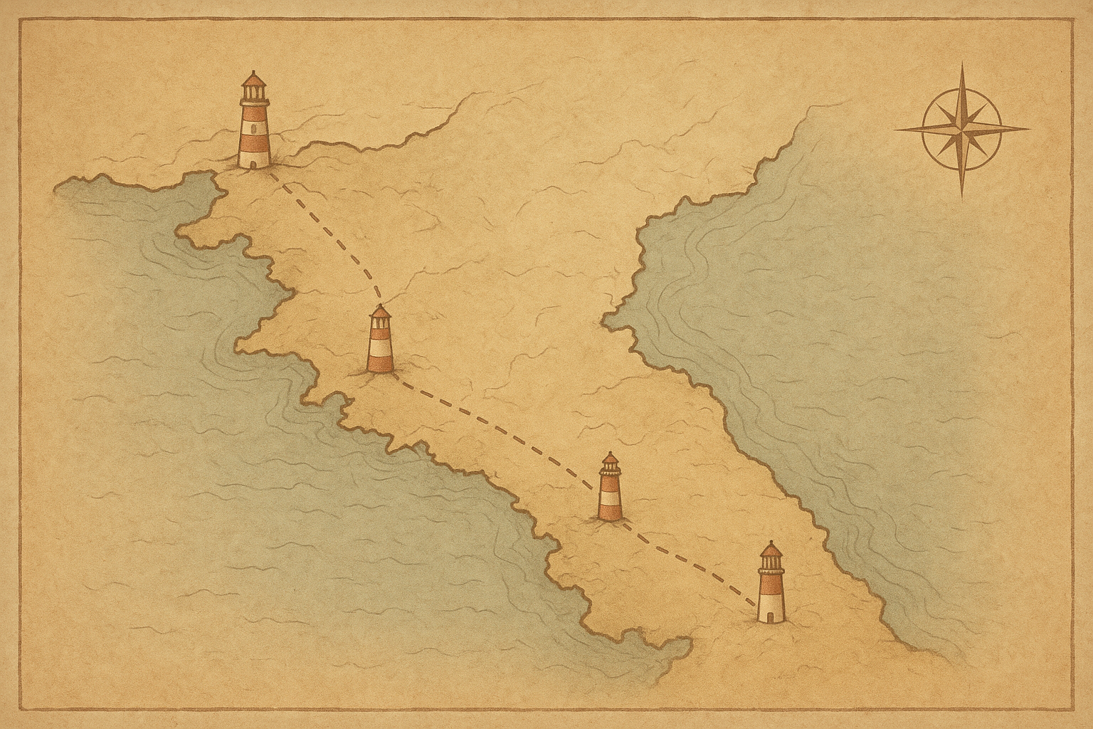
Follow the route line from north to south. Each marker corresponds to a preserved station and short note, helping you read distance, weather exposure, and keeper duty as one connected coastal sequence.
Coast sequence: North 1 South
N